Pollinators
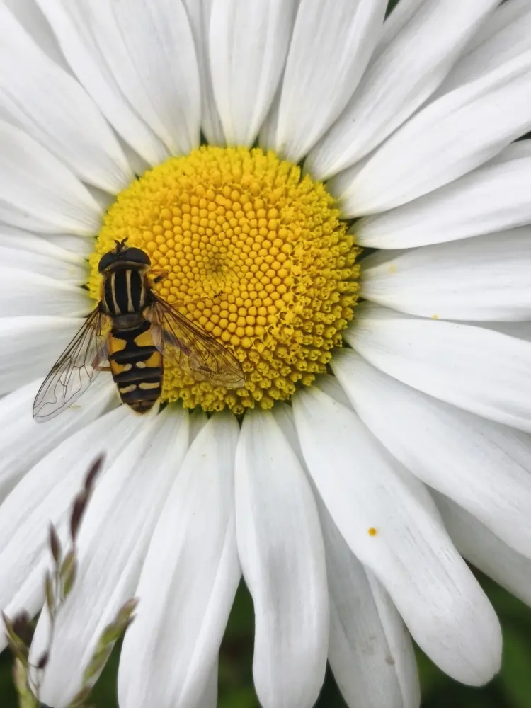
Supporting bees, butterflies and other pollinating insects.
Creating and restoring habitats for pollinators and wildlife.
Raising awareness and inspiring positive change through learning.
Working together across our communities to protect nature.
The B Corridor is an ecological corridor running between the Newtown and Ballygunner areas of Waterford City.
It includes the habitats of the Lower River Suir Special Area of Conservation (SAC) and the Knockboy Wetlands.
Supporting bees, butterflies and other pollinating insects.
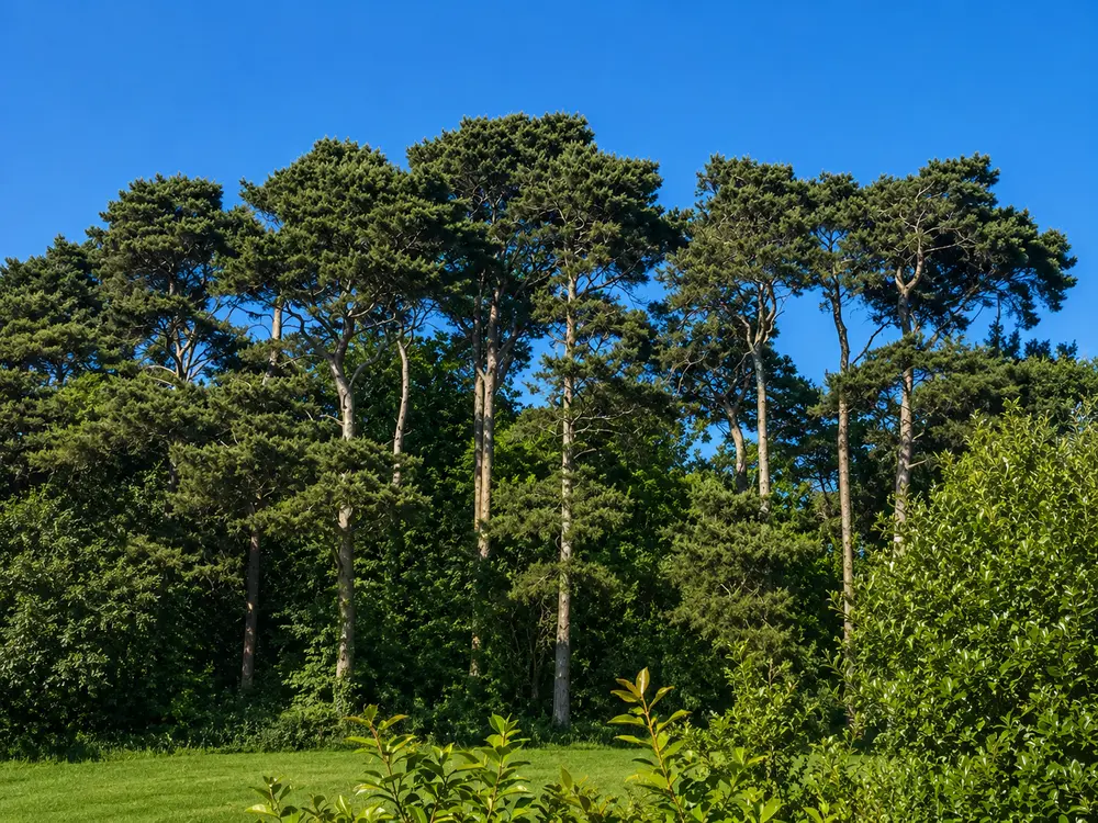
Trees, hedgerows and wildflower meadows.
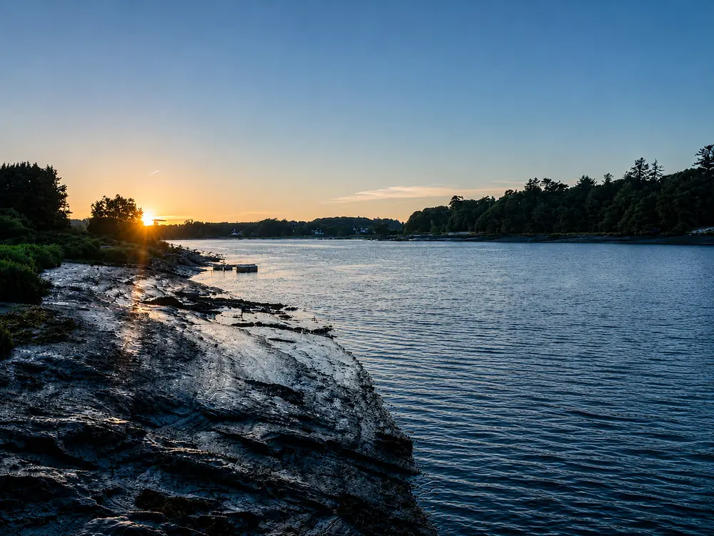
Protecting the River Suir and the Knockboy Wetlands.
Linking homes, schools, parks and community spaces.
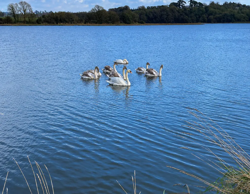
A haven for birds and other native wildlife.
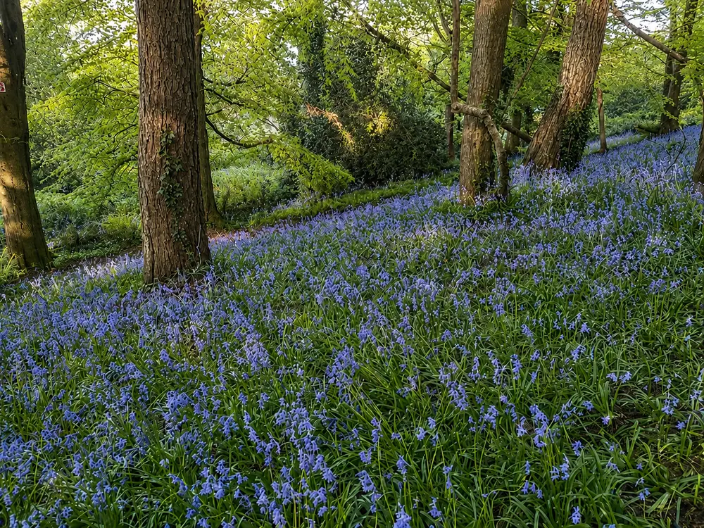
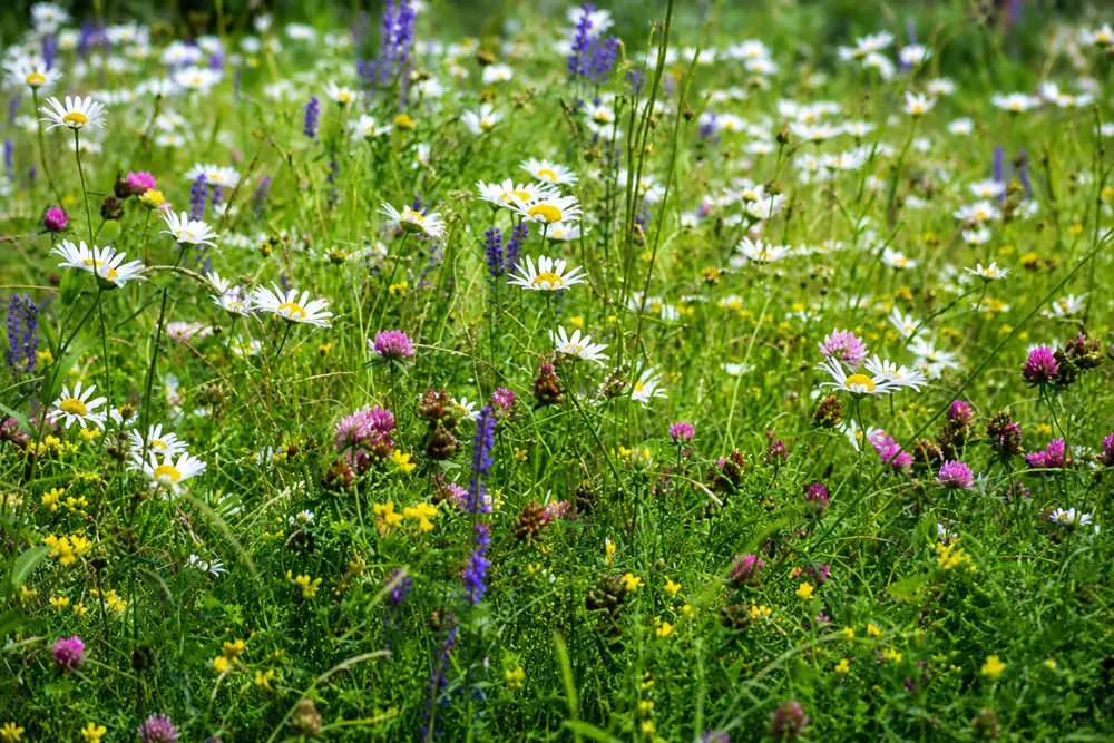
Wildflowers and grasslands full of colour and life.
We may rebuild our cathedrals and our castles, but we cannot rebuild a meadow once it is lost.– John Feehan, Irish ecologist & author
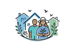
Established in 2024, the B Corridor Group brings together local residents, community groups, parishes, schools, businesses, Waterford City & County Council and the National Biodiversity Data Centre.
We work with communities, landowners and partners to restore habitats, protect wildlife and create a connected, resilient natural environment.
A living route through Waterford where churchyards, river edges, meadows, bee territory and wetlands work together as one connected habitat.
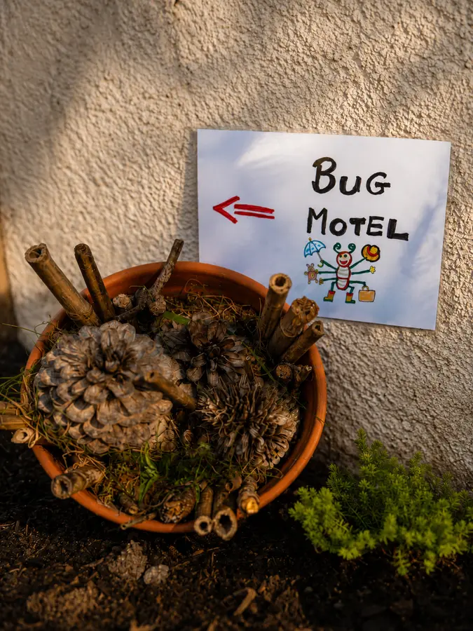
Pollinator patch
Trailhead. Follow the church's example by creating a pollinator patch with flowers rich in pollen and nectar.
Open the full Google map or get walking directions before you go.
Community updates, stories and biodiversity actions from across the B Corridor.
 Action
Spring has arrived along the B Corridor, bringing colour, life, and a reminder of why this landscape matters. Take a look at what's flowering and what's been buzzing.
 Community
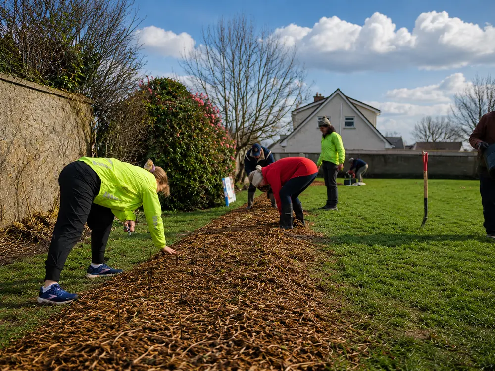
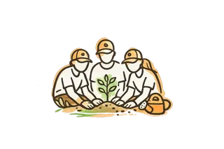
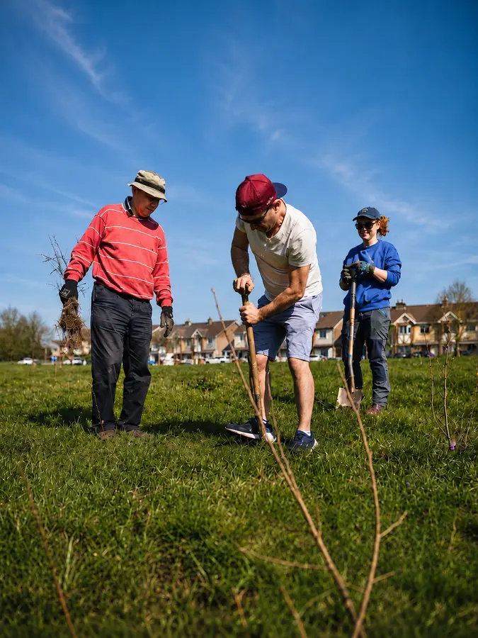
Thanks to over 80 volunteers, we planted more than 2,000 native trees and shrubs along the river banks. Here's a look at the day and the impact we're making together.
 Education
From frogs to fungi, the small but mighty play a huge role in a healthy ecosystem. Discover some of the unsung heroes of the B Corridor.
Stronger together, we create connected landscapes.
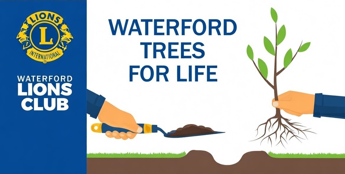 Waterford Trees for Life
 Waterford City & County Council
 National Biodiversity Data Centre
 Eco Action Group
 Local Residents
 Community Volunteers
Your support helps us protect habitats, connect wildlife and build a wilder, more resilient future.
Get involved: email us at bcorridorwaterford@gmail.com

 1 Choose a stop
 2 Discover what lives there


 Be Part of the Change